
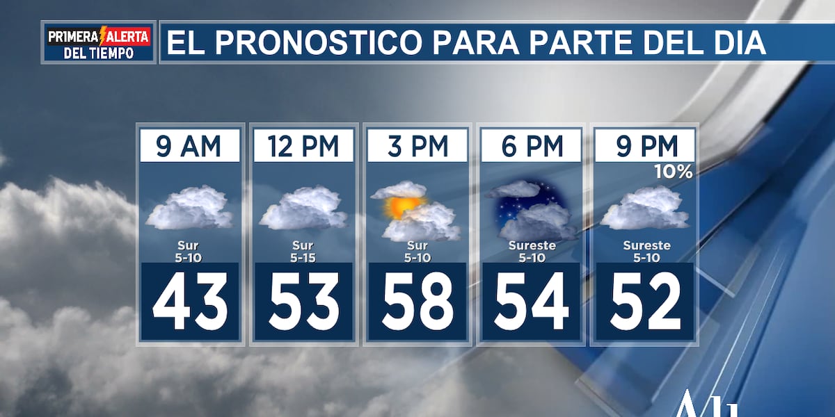
(EAST TEXAS NEWS) – Good morning, East Texas! Clouds have returned to cover East Texas overnight, helping to keep temperatures above freezing across the western half of East Texas, roughly between the mid-30s and 40 degrees Fahrenheit, while the eastern counties have stayed near the freezing mark during the predawn hours. Clouds will linger throughout the day, though southerly winds will help push temperatures higher this afternoon, with highs in the 55 to 60 degree range. Undoubtedly, Tuesday will remain chilly, so you’ll likely want to keep a jacket handy. There’s a slight chance of isolated showers or drizzle spreading through the day, but most won’t see a drop until tomorrow very early, when showers will begin to increase across East Texas. It’s possible that showers with occasional thunder could occur during Wednesday morning and into the early afternoon, before the precipitation subsides as the day progresses.
Temperatures in the 70s return for most East Texans on Thursday, before a cold front rolls through and leaves us near 60 degrees on Friday, then back up to around 70 degrees next weekend. Expect plenty of temperature swings in the coming days, including a potentially warm outlook for Christmas week. Please stay tuned to the First Alert Weather app for the latest updates. We’ll keep you posted!


